
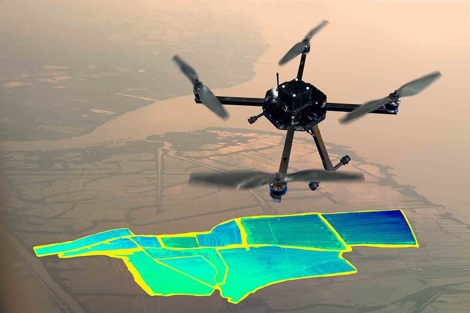
We support smart city development by offering data-rich analysis and visualization tools for effective urban planning.
Our drone technology helps governments and planners understand current land usage and future development impacts.
![]() Land-use analysis and growth projection
Land-use analysis and growth projection
![]() Traffic and pedestrian flow observation
Traffic and pedestrian flow observation
![]() Visual simulations of proposed projects
Visual simulations of proposed projects
![]() Sustainable planning consultations
Sustainable planning consultations
Serving: Local governments, architectural firms, and urban development consultants.

Drone-assisted logistics solutions ensure fast, reliable delivery across urban centers
Learn More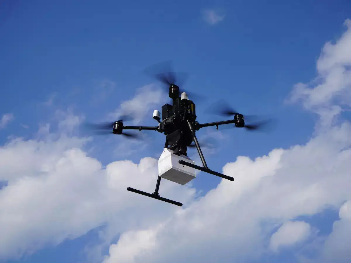
We support smart city development by offering data-rich analysis for effective urban planning.
Learn More
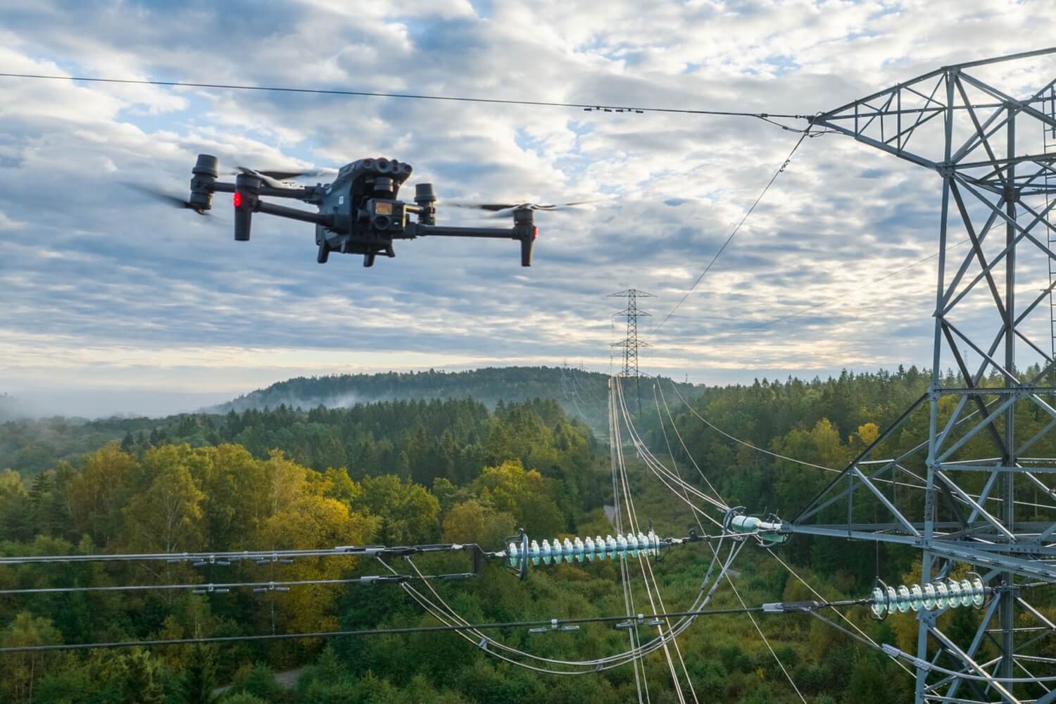
Monitor the health of critical infrastructure and buildings with our continuous aerial inspection services
Learn More

Al Sibani International pioneers drone-powered solutions for smart logistics, infrastructure inspection, and urban planning.
2026 © Al Sibani LLC. All Rights Reserved