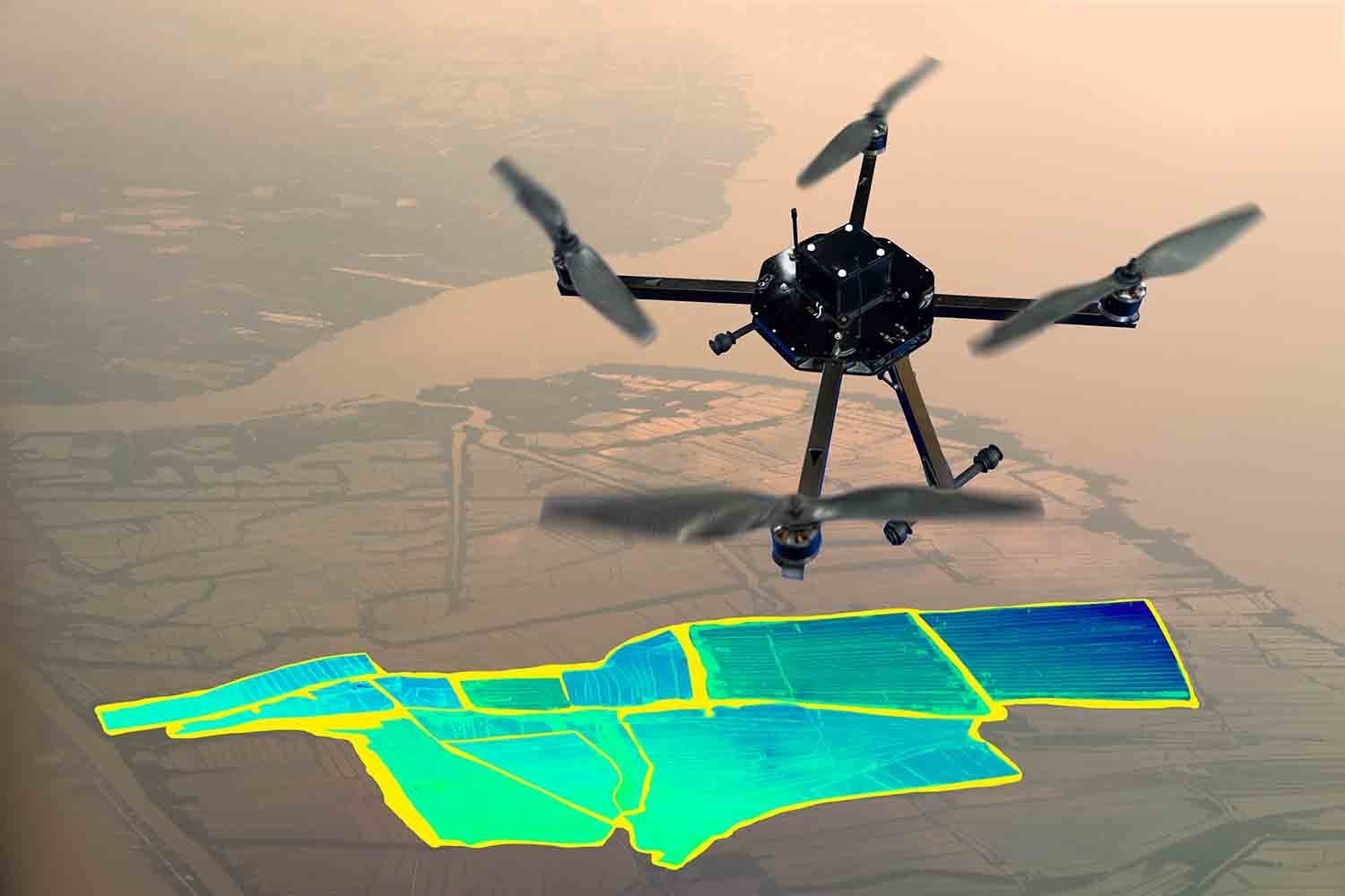
Our advanced aerial mapping and survey services utilize high-resolution drone imagery and LiDAR scanning to deliver precise, real-time geospatial data.
We support urban development, land-use planning, construction pre-assessments, and environmental studies.
![]() High-accuracy topographic maps
High-accuracy topographic maps
![]() 3D terrain models and orthophotos
3D terrain models and orthophotos
![]() Land use and zoning support
Land use and zoning support
![]() Environmental impact assessments
Environmental impact assessments
Ideal for: Municipalities, real estate developers, engineers, and environmental agencies.

Drone-assisted logistics solutions ensure fast, reliable delivery across urban centers
Learn More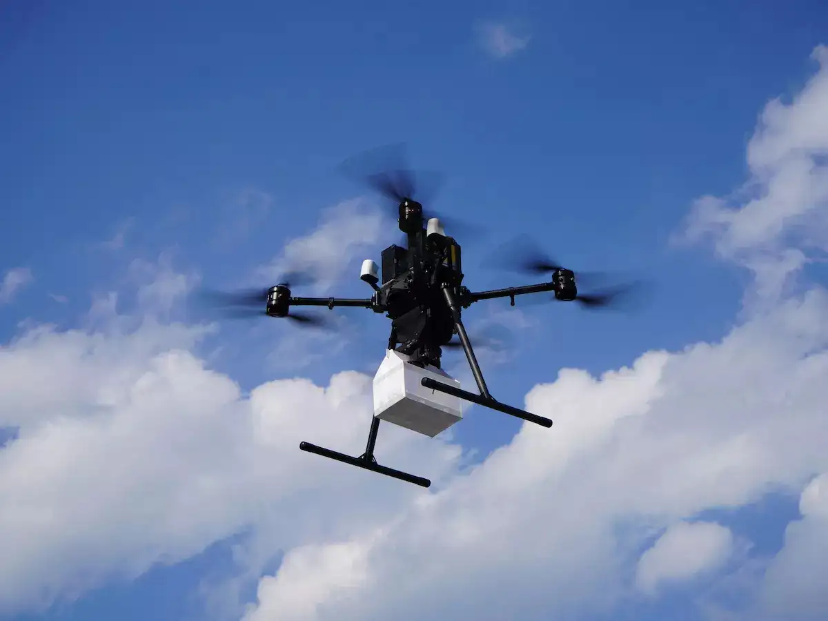
We support smart city development by offering data-rich analysis for effective urban planning.
Learn More
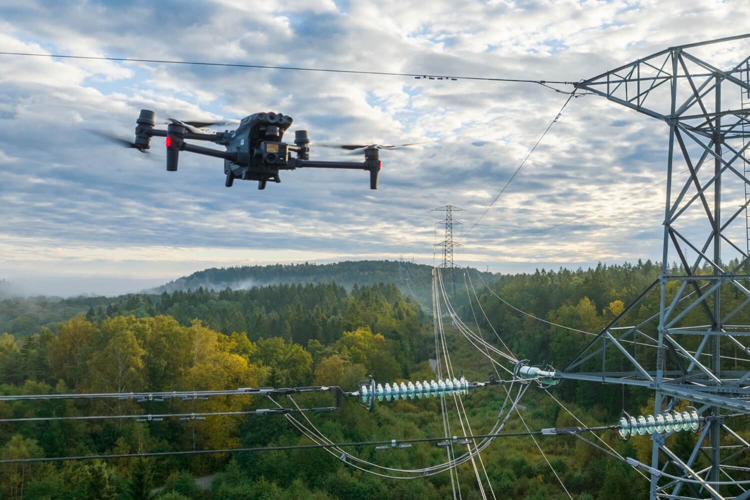
Monitor the health of critical infrastructure and buildings with our continuous aerial inspection services
Learn More

Al Sibani International pioneers drone-powered solutions for smart logistics, infrastructure inspection, and urban planning.
2026 © Al Sibani LLC. All Rights Reserved